


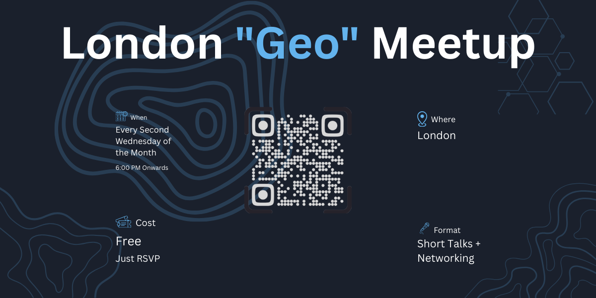
London "Geo" Meetup
A monthly meetup for anyone working or interested in the geospatial/geography domain—professionals, students, academics, and hobbyists.
What is geospatial?Geospatial refers to anything related to location and geography—maps, satellite imagery, GPS, spatial analysis, and the technology behind it all. If it has coordinates, it's geospatial.
Think Google Maps, urban planning, climate modelling, drone surveys, OpenStreetMap, routing algorithms, or even tracking your morning run. It's a broad field that touches almost every industry.
Who should attend?This meetup is for everyone—you don't need to be an expert. If any of these describe you, you belong here:
Anyone curious about maps, data, and how location shapes our world Students exploring geospatial as a career path GIS analysts, cartographers, and remote sensing specialists Developers building with spatial data, mapping libraries, or location APIs Urban planners, environmental scientists, and researchers Open source contributors (OSM, QGIS, PostGIS, GeoServer, etc.)Organizers
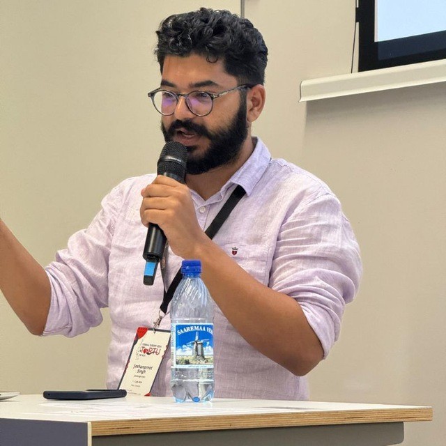
Json Singh
Members

London "Geo" Meetup
A monthly meetup for anyone working or interested in the geospatial/geography domain—professionals, students, academics, and hobbyists.
What is geospatial?Geospatial refers to anything related to location and geography—maps, satellite imagery, GPS, spatial analysis, and the technology behind it all. If it has coordinates, it's geospatial.
Think Google Maps, urban planning, climate modelling, drone surveys, OpenStreetMap, routing algorithms, or even tracking your morning run. It's a broad field that touches almost every industry.
Who should attend?This meetup is for everyone—you don't need to be an expert. If any of these describe you, you belong here:
Anyone curious about maps, data, and how location shapes our world Students exploring geospatial as a career path GIS analysts, cartographers, and remote sensing specialists Developers building with spatial data, mapping libraries, or location APIs Urban planners, environmental scientists, and researchers Open source contributors (OSM, QGIS, PostGIS, GeoServer, etc.)Organizers
Json Singh
Members
Get in touch!
hi@guild.host